
Did you know that the Bob Jones Pathway is within a syncline? The trail is a perfect location to view local earth science. You can witness 25 million years of geology by simply walking the trail. Fortunately, you will not encounter any dinosaurs! Let us discover exactly what that means.
The inland area of Avila Beach is an ancient arm of the sea. Ten million years ago, the land was completely submerged. The present-day rock formations were created from marine deposits. The landform in our region is a complex geology where you will find rocks and materials of various ages. There are three geological formations along the Bob Jones Trail. The Pismo Formation, Monterey Formation, and the Obispo Formation.
A syncline is a structural feature defined as a fold formed long ago by layers with the youngest rocks closest to the center. Synclines are concave in shape like a bowl. The lay of the land defines the structure of rock.
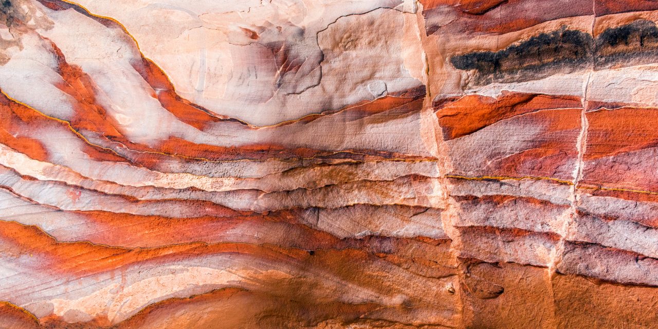
The so-called young rocks are about 2 million years old and located in the Pismo Formation. The Pismo Formation is a thick series of marine sediments. This formation can be found from the entrance of the pathway (Ontario Road) to See Canyon Creek Bridge. Simply glance up at the rock located along that section of the pathway. Notice the multiple layers, the color variance, and their angle. The direction of movement in rock strata can be noted. You are seeing years and years of rock building along with uplift. The layers were originally horizontal. Slowly, very slowly, the terrain repositions and bends.
Rock fault evidence. 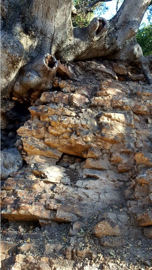
Rock color variance. 
Rock movement nearly vertical. 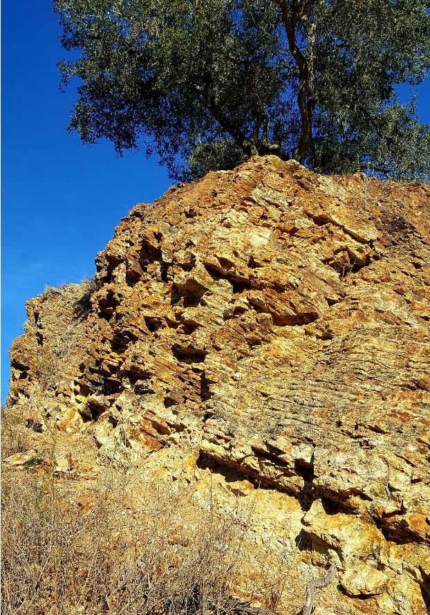
Rock layer, strata. Photos by Betty Hartig
What was once horizontal may eventually become nearly vertical. Due to the massive activity in this locale, there is extraordinarily little continuous bedding that remains.
The Monterey Formation, which is the second oldest, can be viewed along Blue Heron Drive, especially noticeable across from the Marre Weir. The Monterey Formation consists of siliceous marine sediments. The wave-like lines that you see in the rock are examples of motion that continuously occurs. The layers or folds are designated by color or texture. Their surface can sometimes feel grainy from sand deposits. The process of building, uplifting, and moving is evident. Geological forces are happening all the time, mountains are building, the sea level is changing, but like the rotation of the earth, we are generally unaware. Normally one does not feel any activity unless there is an earthquake. When that happens, a surprise jolt is experienced that provides a keen reminder that the land beneath us does indeed move.
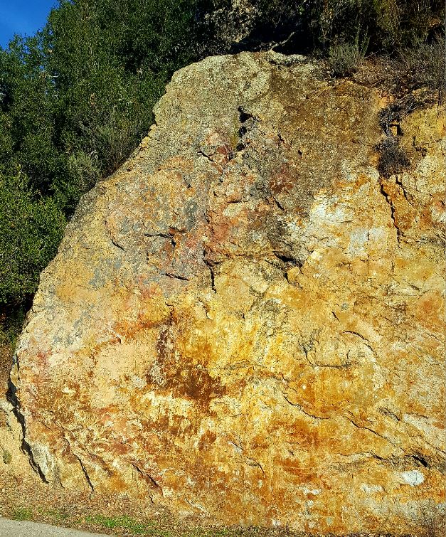
The third formation is the roughly 20-million-year-old Obispo Formation. The Obispo Formation lithology varies but is dominated by lavas and tuffs. Tuffs are hardened volcanic ash. Just like the other previously mentioned formations, the Obispo Formation is comprised of marine deposits. If you venture off the Bob Jones Trail for 50-60 yards on Blue Heron Drive, the high road that leads to Mulligan’s restaurant, an excellent ancient rock sample is found on the north side. A reddish-orange rock structure is clearly visible. Stroke your hand along that rock, notice the smoothness of the surface. The slab appears to have been polished. That slick surface was formed by shifting land, better known as a fault. There are numerous faults in the area that all trend in the same direction. Fortunately, we have not had a significant earthquake in recent times.
The topography of Avila has been significantly studied because of the proximity to the nuclear plant. A detailed geology map colorfully indicates the makeup of the land. However, simply being on-the-lookout for stratified rock will create curiosity; no map required. The possibilities of what can be observed as you walk the Bob Jones Pathway are endless.
We can go back in time by simply lacing up our hiking shoes.